
High Point Terrace
Abandoned NC&STL Railway
Route Between Memphis, Jackson & Bruceton
High Point Terrace - Milepost ONI 222.0
Seaboard System MP15T #1216 eastbound with the "Cordova
Local" approaches
High Point Terrace in August, 1987. Photo & contributed
by David Johnston.
High Point Terrace looking East (circa 2000). Photo & contributed
by Joseph Yarbrough.
High Point Terrace looking west.
The signal is hiding behind the fast growing trees. Can
you catch it?
Finally, you caught that hiding signal. It has been outraged
for years, approximate 1-1/2 miles to Aulon Junction.
Click for enlargement
High Point Terrace looking west. 
Click for enlargement
High Point Terrace looking west.
Click for enlargement
High Point Terrace looking east.
Click for enlargement
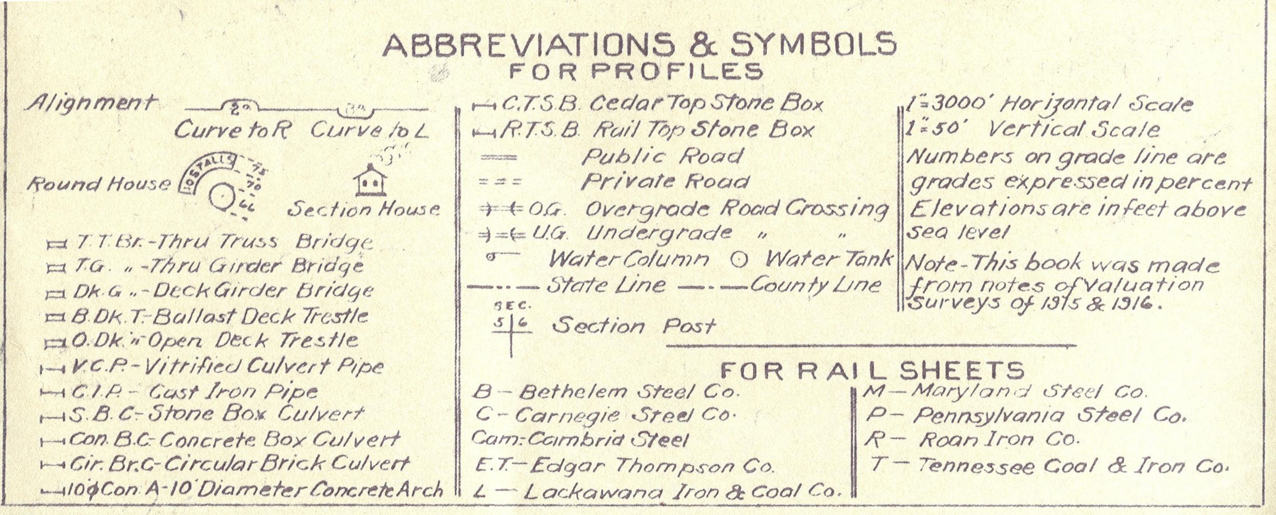
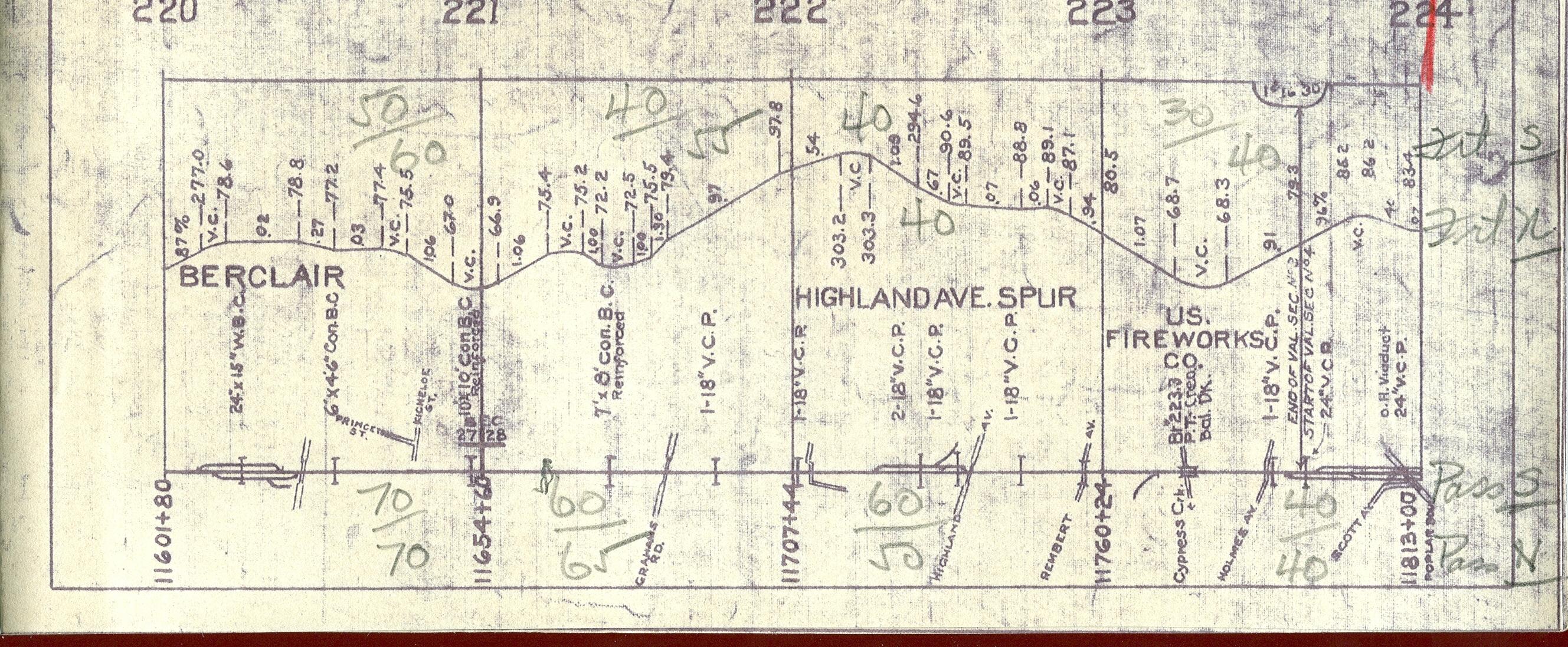
1913 NC&STL track diagram (updated circa 1930's). See legend
for the abbreviations and symbols.
Click for enlargement
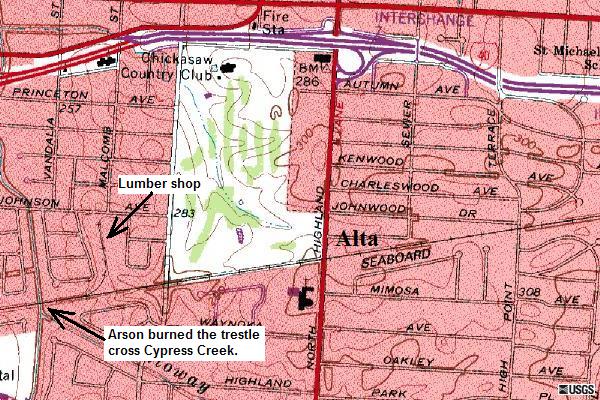
Topo map of Alta on July 1, 1993 by TerraServer-USA.
More Links Regarding East of Alta
Eric's
Homepage | Bridges
| Depot List
| Mystery Station
| Photos |
Railroad Museums
Route Maps | Station
List | Steam
#576 | Timetables
| Track Realignment
| Contact Eric
This page maintained by Eric C. Fleet.
If you have materials that you would like to contribute, contact
me at EricFleet@ncstl.com