
Luray
Abandoned NC&StL Railway
Route Between Memphis,
Jackson & Bruceton
Luray Station - Milepost 130.6
Standing on Railroad Road at Luray looking north across old roadbed.
Photo and contributed by Dennis Martin.
Hubbard Town Road looking west along old roadbed (long shot)
at
milepost 131.1. See zoomed
in. Photo and contributed by
Dennis Martin.
Looking across Hubbard Town Road looking east along old
roadbed,
overgrown with trees at milepost 131.1. We are about a half
mile
west of Luray. Island Road runs off to the south (right
of picture),
while Railroad Road runs beside the old roadbed eastward
to Luray.
Photo and contributed by Dennis Martin.
Click for enlargement
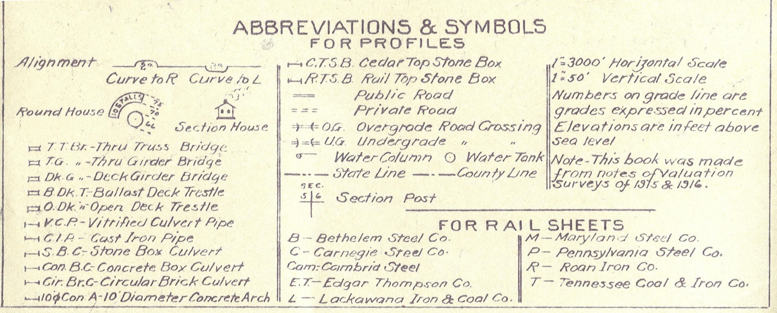
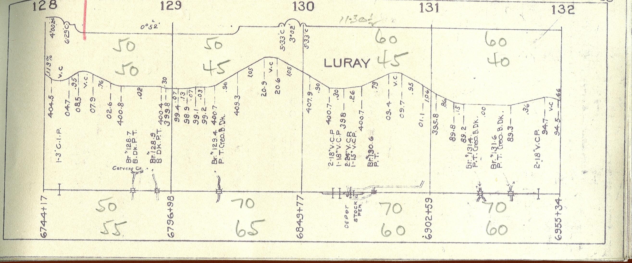
1913 NC&STL track diagram (updated circa 1930's). See legend for the abbreviations
and symbols. 
Click for enlargement
Topo map of Luray on July 1, 1989 by TerraServer-USA.
Eric's
Homepage | Bridges
| Depot List
| Mystery Station
| Photos |
Railroad Museums
Route Maps | Station
List | Steam
#576 | Timetables
| Track Realignment
| Contact Eric
This page maintained by Eric C. Fleet.
If you have materials that you would like to contribute, contact
me at EricFleet@ncstl.com